CLUSTER
Rio Pardo (AME, Atlântica Norte)
1 project
Cluster data sheet
- State
- MG
- Substances
- Iron ore · Manganese
- Municipalities
- Rio Pardo de Minas
- Highway
- —
- Rail terminal
- —
- Port
- Tubarão, Açu e Sudeste do Brasil
- Reference municipality
- Rio Pardo de Minas
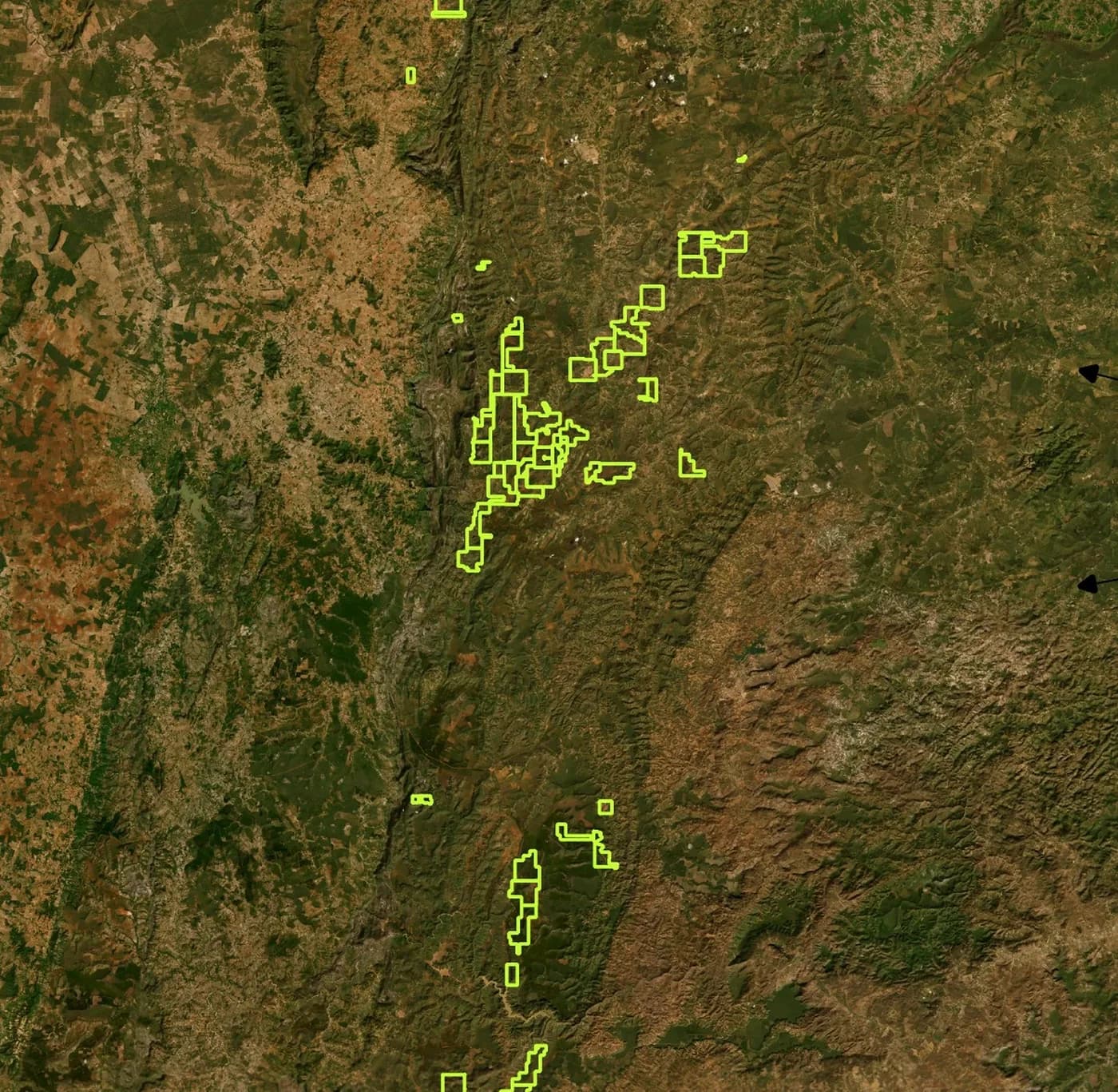
The maps on this page are situation maps produced by Atlântica Minas, showing the extent of the mineral tenements over satellite imagery. The data sheet above gives location at municipality level.
Location maps
The extent of this cluster's tenements, over satellite imagery.
Project by project is in the listing
Each cluster above opens the project listing already filtered. Substance, municipality and ANM phase are there, one sheet per project.