Iron ore
Itatiaiuçu
Itatiaiuçu / MG
Technical record
- Substance
- Iron ore
- Municipality/State
- Itatiaiuçu / MG
- Cluster
- —
- Area
- 202.47 ha
- Phase
- Exploration permit
- Logistics access
- —
About the project
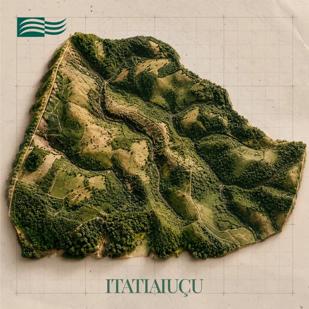
The asset brings together two contiguous areas at Itatiaiuçu, 77 km from Belo Horizonte along the BR-381 highway, inside the Quadrilátero Ferrífero. The target is banded iron formation.
Exploration on the smaller tenement ran the full cycle: topography, ground geophysics, geological mapping, sampling pits, diamond drilling, chemical analysis, liberation and concentration studies, and geological modelling, closing with a positive Final Exploration Report. Infrastructure works in the project's favour — power, water, a paved highway and a railway nearby, with Greater Belo Horizonte alongside.
From rock to final product
From rock to final product
- 01
Iron ore
- 02
Processing
- 03
Steel
- 04
Construction and industry
Gallery
Location and logistics
Location and logistics
Itatiaiuçu / MG
Logistics
- Road access
- —
- Rail terminal
- —
- Port
- —
Location shown at municipality level. Coordinates and mineral right polygons are not public information.
Licensing and compliance
Exploration application
Exploration permit
Final Exploration Report filed
Final Exploration Report approved
Mining application
Mining concession
Phases follow the authorisation and concession regime: exploration permit, Final Exploration Report (RFP) filed, RFP approved by ANM, mining application and mining concession.
Related projects
Want to go deeper into an asset?
The investor area brings together the portfolio by cluster, the stage of each project and its logistics access.