Iron ore
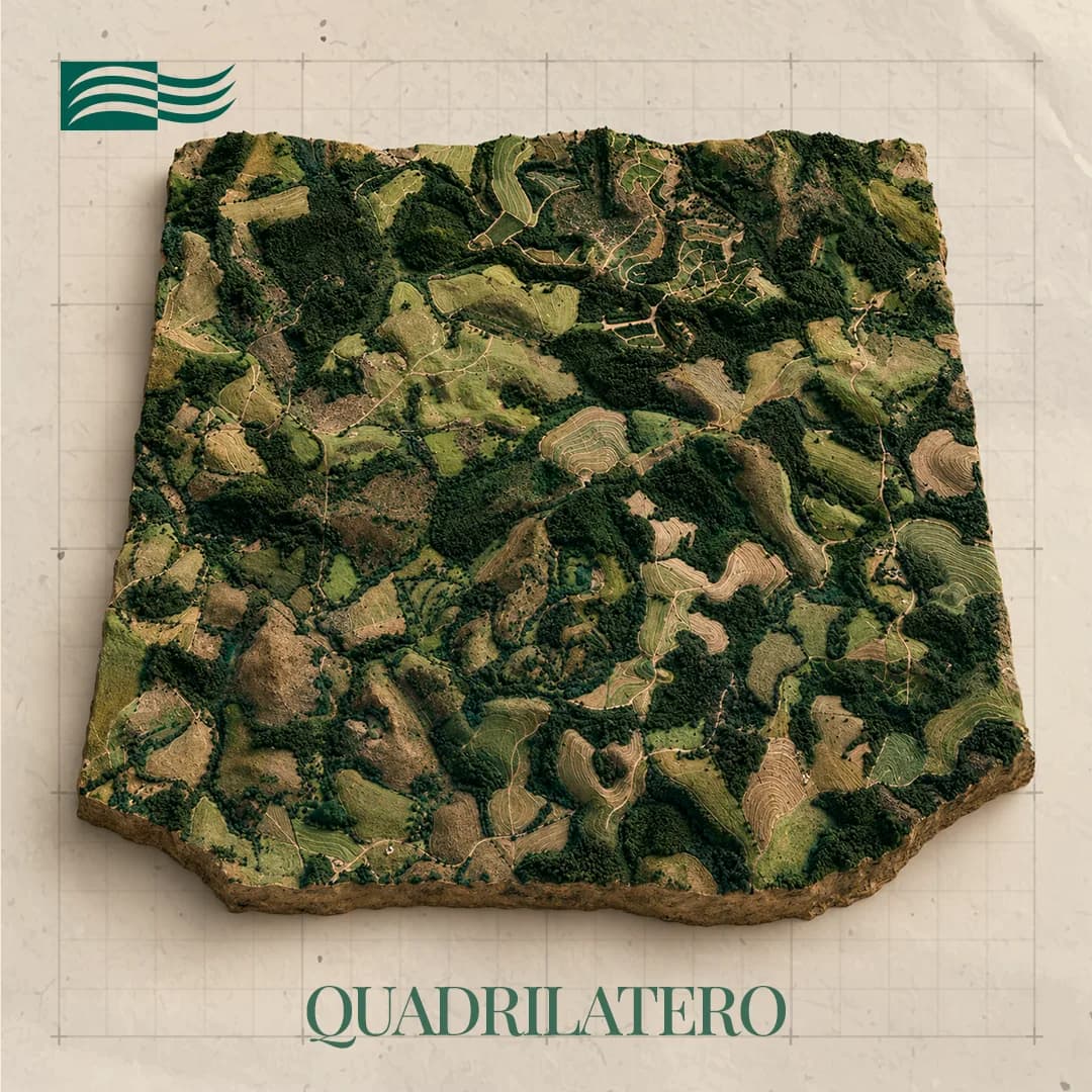
Quadrilátero
Desterro de Entre Rios e Resende Costa / MG
Technical record
- Substance
- Iron ore
- Municipality/State
- Desterro de Entre Rios e Resende Costa / MG
- Cluster
- Quadrilátero, Noroeste, Vizinho Noroeste
- Area
- 1,960.86 ha
- Phase
- Final Exploration Report filed
- Logistics access
- BR-040 + BR-383 + MG-270
About the project
The tenement sits across Desterro de Entre Rios and Resende Costa, southwest of the Quadrilátero Ferrífero — outside it, despite the project name. Access is by the BR-040, BR-383 and MG-270 highways.
Iron occurs in three forms: iron formation, siliceous iron formation and ferruginous canga. Around them sit granite batholiths to the west and quartzites to the east, with quartz veins marking the contact zones. All were mapped, delineated, sampled and measured, and the technical mining feasibility study was completed on the parameters gathered in the field. The Final Exploration Report is positive and has been filed.
From rock to final product
From rock to final product
- 01
Iron ore
- 02
Processing
- 03
Steel
- 04
Construction and industry
Gallery
Location and logistics
Location and logistics
Desterro de Entre Rios e Resende Costa / MG
Logistics
- Road access
- —
- Rail terminal
- —
- Port
- Tubarão, Açu e Sudeste do Brasil
Location shown at municipality level. Coordinates and mineral right polygons are not public information.
Licensing and compliance
Exploration application
Exploration permit
Final Exploration Report filed
Final Exploration Report approved
Mining application
Mining concession
Phases follow the authorisation and concession regime: exploration permit, Final Exploration Report (RFP) filed, RFP approved by ANM, mining application and mining concession.
Related projects
Want to go deeper into an asset?
The investor area brings together the portfolio by cluster, the stage of each project and its logistics access.