Iron ore
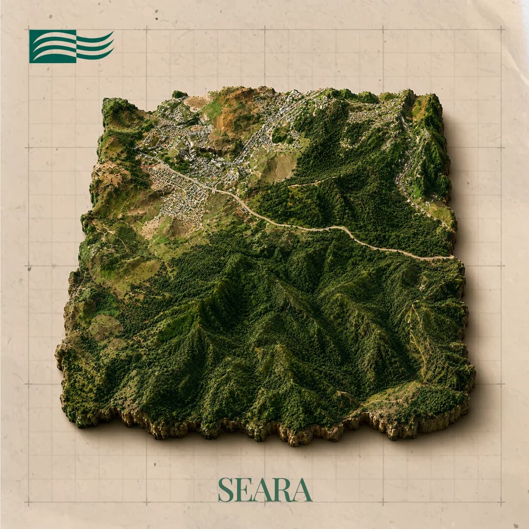
Seara
João Monlevade, Rio Piracicaba e São Gonçalo do Rio Abaixo / MG
Technical record
- Substance
- Iron ore
- Municipality/State
- João Monlevade, Rio Piracicaba e São Gonçalo do Rio Abaixo / MG
- Cluster
- Ferro Barão and Ferro Cocais
- Area
- 407.75 ha
- Phase
- Final Exploration Report filed
- Logistics access
- —
About the project
The target lies south of João Monlevade, on the contact between the Nova Lima and Itabira groups, around 110 km from Belo Horizonte along the BR-381 highway.
A specularite-bearing iron formation is thrust over the Nova Lima schists along a fault contact, and on the plateaus the lateritic cover forms ferruginous canga. Three occurrence types were mapped: canga, specularitic iron formation and specularite quartz schist. Exploration ran through geological mapping, ground-penetrating radar, ground magnetometry, drilling, chemical analysis and characterisation tests, which pointed to magnetic separation as the concentration route. The Final Exploration Report is positive and has been filed.
From rock to final product
From rock to final product
- 01
Iron ore
- 02
Processing
- 03
Steel
- 04
Construction and industry
Gallery
Location and logistics
Location and logistics
João Monlevade, Rio Piracicaba e São Gonçalo do Rio Abaixo / MG
Logistics
- Road access
- —
- Rail terminal
- —
- Port
- Tubarão, Açu e Sudeste do Brasil
Location shown at municipality level. Coordinates and mineral right polygons are not public information.
Licensing and compliance
Exploration application
Exploration permit
Final Exploration Report filed
Final Exploration Report approved
Mining application
Mining concession
Phases follow the authorisation and concession regime: exploration permit, Final Exploration Report (RFP) filed, RFP approved by ANM, mining application and mining concession.
Related projects
Want to go deeper into an asset?
The investor area brings together the portfolio by cluster, the stage of each project and its logistics access.